Tijuana River Watershed Binational Vision Project
In 2002, a binational team of researchers and practitioners, the Binational Watershed Advisory Council (BWAC), was formed with funding from the State of California, the County of San Diego, and San Diego State University, including support from the Southwest Consortium for Environmental Research and Policy. BWAC developed baseline information for the watershed and identified key stakeholders in the watershed. The stakeholders participated in the development of a binational vision, or ideal state, for the Tijuana River Watershed published in 2005 and helped to devise strategies and options for achieving that vision.
Context
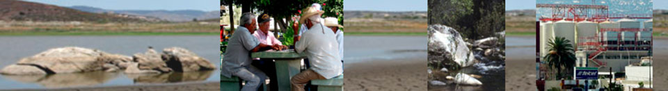
The Tijuana River Watershed lies across the U.S.-Mexican international boundary and includes approximately 1,750 square miles (4,465 km2) with one-third in California and two-thirds in Baja California.
Challenges
Growing human populations and land use changes have brought numerous environmental problems to the Tijuana River Watershed region. These include:
- Decline in local groundwater and dependence on imported water
- Decline in quality of surface and groundwater for human use
- Increased erosion and flood dangers
- Increased air pollution
- Reduction in the amount of open, green areas for urban residents
- Decrease in ecosystem health
- Increasing number of threatened and endangered plants and animals