Data and Maps
Static Maps
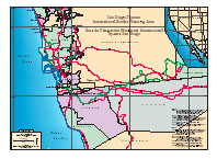
Downloadable maps of the TRW in .pdf format. Requires Adobe Acrobat Reader.
Real-time Data Links and 2005 GIS archives
Real-time USGS hydrologic data, and INEGI virtual map, no GIS software required.
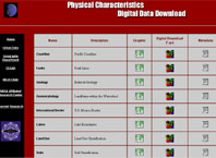
For users with GIS software. Downloadable Physical and Urban GIS Data of the TRW, including metadata. Links to historic and real-time stream flow and groundwater data.